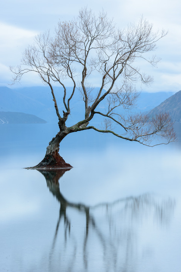
Lake Wanaka is located in the Otago region of New Zealand, at an altitude of 300 metres. Covering an area of 192 km2 (74 sq mi), it is New Zealand's fourth largest lake, and estimated to be more than 300 m (980 ft) deep. Its name is Māori, a corruption of Oanaka.
Lake Wanaka lies at the heart of the Otago Lakes in the lower South Island of New Zealand. The township is situated in a glacier carved basin on the shores of the lake and is the gateway to Mt Aspiring National Park. Lake Hāwea is a 15 minute drive away, en route to the frontier town of Makarora, the last stop before the West Coast Glacier region. To the south is the historic Cardrona Valley, offering an alpine route to neighbouring Queenstown.
At its greatest extent, which is roughly along a north-south axis, the lake is 42 kilometres long. Its widest point, at the southern end, is 10 kilometres. The lake's western shore is lined with high peaks rising to over 2000 metres above sea level. Along the eastern shore the land is also mountainous, but the peaks are somewhat lower.
Wanaka lies in a u-shaped valley formed by glacial erosion during the last ice age, more than 10,000 years ago. It is fed by the Matukituki- and Makarora Rivers, and is the source of the Clutha River. Nearby Lake Hāwea lies in a parallel valley carved by a neighbouring glacier eight kilometres to the east. At their closest point (a rocky ridge called The Neck), the lakes are only 1,000 metres apart.
Numerous small islands are to be found at the southern end of the lake, with some now serving as ecological sanctuaries, for example for buff weka in case of Stevensons Island. The only flat land around the lake is also to be found here, surrounding the outflow into the Clutha River. The towns of Wanaka and Albert Town are situated here.
Source:
Picture:Link:
Wikipedia:Link:

0 comments:
Post a Comment