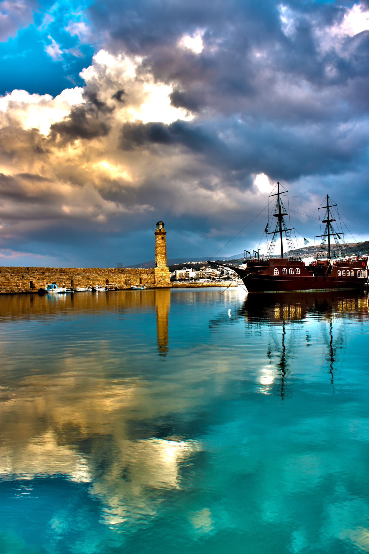
Chania is the second largest city of Crete and the capital of the Chania regional unit. It lies along the north coast of the island, about 70 km (43 mi) west of Rethymno and 145 km (90 mi) west of Heraklion.
The official population of the municipal unit (the former municipality) is 53,910, while the municipality has 108,642 (2011) inhabitants. This consists of the city of Chania and several other towns and villages, including Kounoupidiana (pop. 8,620), Mournies (pop. 7,614), Souda (pop. 6,418), Nerokouros (pop. 5,531), Daratsos (pop. 4,732), Perivolia (pop. 3,986), Galatas (pop. 3,166) and Aroni (pop. 3,003).
The city of Chania lies around 40 km (25 mi) from the west end of Crete. By road, the distance is approximately 52 km (32 mi).
The city of Chania can be divided in two parts: the old town and the modern city which is the larger one. The old town is situated next to the old harbour and is the matrix around which the whole urban area was developed. It used to be surrounded by the old Venetian fortifications that started to be built in 1538; of them the eastern and western parts have survived. From the south, the old town is continuous with the new, and from the north the physical border is the sea. The centre of the modern city is the area extending next to the old town and especially towards the south.
Despite being heavily bombed during World War II, Chania's Old Town is considered the most beautiful urban district on Crete, especially the crumbling Venetian harbour. The borders of the Old Town are the mostly destroyed old Venetian wall (and bulwarks) and this has been the cradle of all the civilizations which were developed in the area. The central part of the old town is named Kasteli and has been inhabited since Neolithic times. It is located on a small hill right next to the seafront and has always been the ideal place for a settlement due to its secure position, its location next to the harbour and its proximity to the fertile valley in the south. Nowadays it is a bit more quiet than the neighbouring areas of the west part of the district. The Splantzia quarter (next to the east part of Kasteli) is also largely untouched and very atmospheric. A plan for its future development is now under consideration.
The main square of the Old Town (next to the west end of Kasteli) is the Eleftherios Venizelos Square ("Syntrivani"). It is the heart of the touristic activities in the area. Next to this (on the west side) lies the Topanas district, which used to be the Christian part of the city during the Turkish occupation. Its name comes from the Venetian ammunition warehouse (Top-Hane in Turkish), which was located there. The Jewish quarter was located at the north-west of the Old Town, behind the harbour and within the borders of Topanas. The whole Topanas area is generally very picturesque, with many narrow alleys and old charming buildings, some of which have been restored as hotels, restaurants, shops and bars. This makes it a lively and colourful place especially during the warm period (April–October). In the winter, it still remains a center of activities (especially for nightlife) but in a more quiet and atmospheric way.
Finally, a very distinctive area of the Old Town is the harbour itself and generally the seafront. Akti Tompazi, Akti Kountouriotou and Akti Enoseos (marina) all feature several historical buildings and a thriving nightlife. The main street that combines the modern town with the old town is Halidon Str.
Source:
Picture:Link:
Wikipedia:Link:

0 comments:
Post a Comment