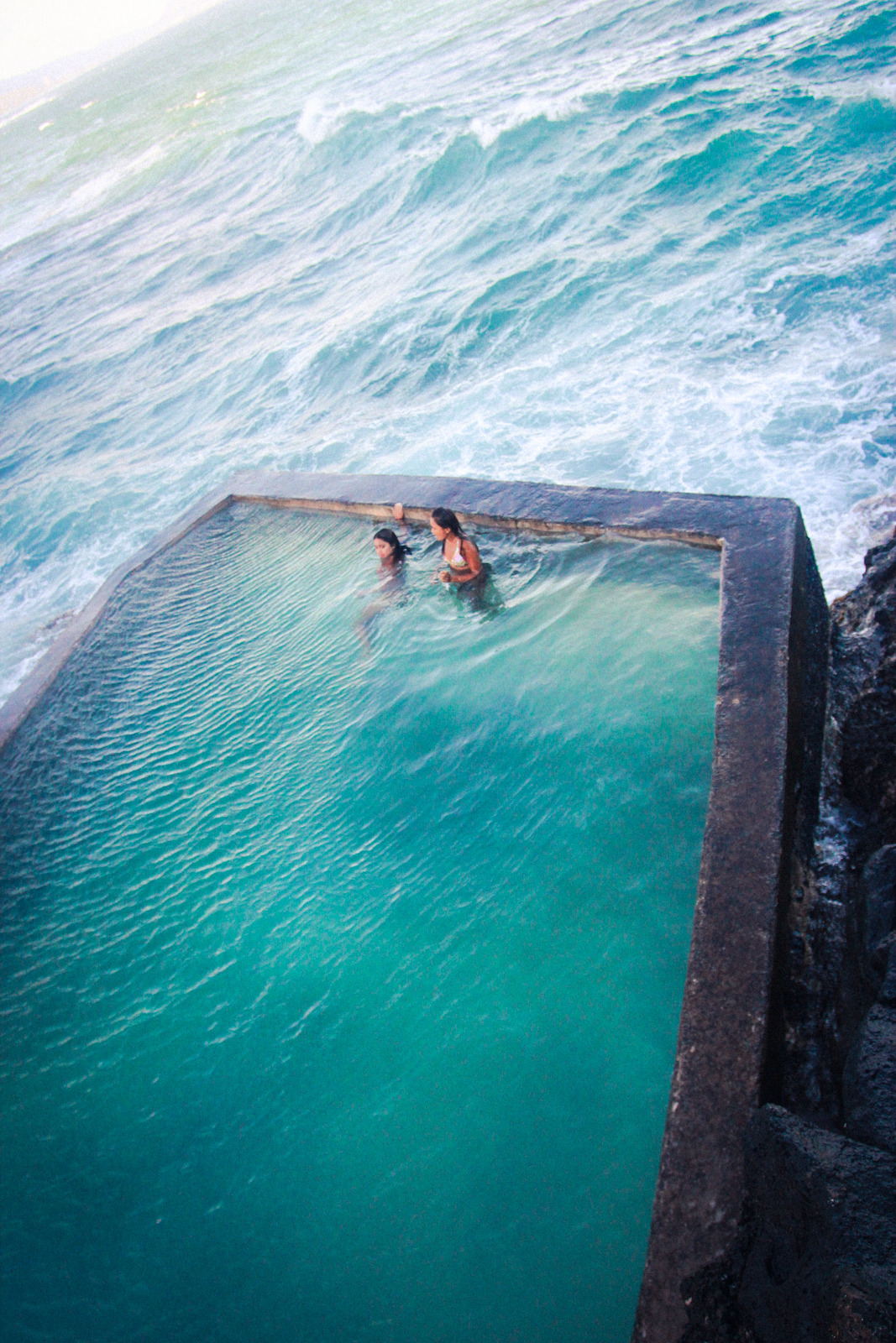
Madeira is a Portuguese archipelago that lies between 32°22.3′N 16°16.5′W and 33°7.8′N 17°16.65′W, just under 400 kilometres (250 mi) north of Tenerife, Canary Islands, in the north Atlantic Ocean and an outermost region of the European Union. The archipelago comprises the major part of one of the two Autonomous regions of Portugal (the other being the Azores located to the northwest), that includes the islands of Madeira, Porto Santo, and the Desertas, administered together with the separate archipelago of the Savage Islands.
Madeira was claimed by Portuguese sailors in the service of Infante D. Henrique (Henry the Navigator) in 1419, and settled after 1420. The archipelago is considered to be the first territorial discovery of the exploratory period of the Portuguese Age of Discovery.
Today, it is a popular year-round resort, being visited every year by about one million tourists, noted for its Madeira wine, flowers, landscapes and embroidery artisans, as well as for its annual New Year celebrations that feature the largest fireworks show in the world, as officially recognised by the Guinness World Records, in 2006. The main harbour in Funchal is the leading Portuguese port in cruise liner dockings, being an important stopover for commercial and trans-Atlantic passenger cruises between Europe, the Caribbean and North Africa.
Madeira is currently the second richest region in Portugal, after Lisbon, with a GDP per capita of 104% of the European average.
The archipelago of Madeira is located 520 km (323.11 mi) from the African coast and 1,000 km (621.37 mi) from the European continent (approximately a one-and-a-half hour flight from the Portuguese capital of Lisbon). It is found in the extreme south of the Tore-Madeira Ridge, a bathymetric structure of great dimensions oriented along a north-northeast to south-southwest axis that extends for 1,000 kilometres (620 mi). This submarine structure consists of long geomorphological relief that extends from the abyssal plain to 3500 metres; its highest submersed point is at a depth of about 150 metres (around latitude 36ºN). The origins of the Tore-Madeira Ridge are not clearly established, but may have resulted from a morphological buckling of the lithosphere.
The archipelago itself is a series of oceanic volcanic islands that date back to the Miocene (about 20 million years ago), and constructed from a hotspot in the Earth's crust of the African Tectonic Plate. Madeira, and the smaller Desertas Islands, are the youngest of these islands (dating from 4.6 to 0.7 million years), while Porto Santo, the smaller of the main islands, is the oldest (approximately 14 million years). Since their immersion, there have been five phases related to the volcanism of the group, and they are particularly visible on the island of Madeira, which include:
Base formation - characterised by large eruptions and ejecta which terminated about three million years ago; Peripheral formation - where there is a diminishing level of the projectiles, causing the formation of several dykes and platforms, that terminated about 740,000 years ago; High altitude formation - marked by a continuation of projectiles, pyroclastic materials and the formation of faults along the northern and southern coasts (between 400–900 meters); Paul da Serra - formation that travelled along the Bica da Cana around 550,000 years ago; Recent eruptions, associated with minor island formations; the magma fields discovered on the islands (which terminated about 6500 years ago) are associated with this phase.
These basaltic islands have not seen any volcanic activity within the last 6000 years.
Source:
Picture:Link:
Wikipedia:Link:

0 comments:
Post a Comment